
Travel with Antee: Where the Mountains Move
Part One | Altay, Burqin, Baihaba, Kanas and Hemu
An editorial journey into northern Xinjiang, where rivers glow turquoise, villages shelter beneath the trees, and the changing seasons are measured in footsteps and hooves.
Where: Altay Prefecture, northern Xinjiang, China
Suggested length: 6 days (add time for weather delays)
Best season: June–September for green landscapes; roughly mid-September to early October for autumn color
The story to follow: Kazakh pastoral migration, or zhuanchang (牧民转场)
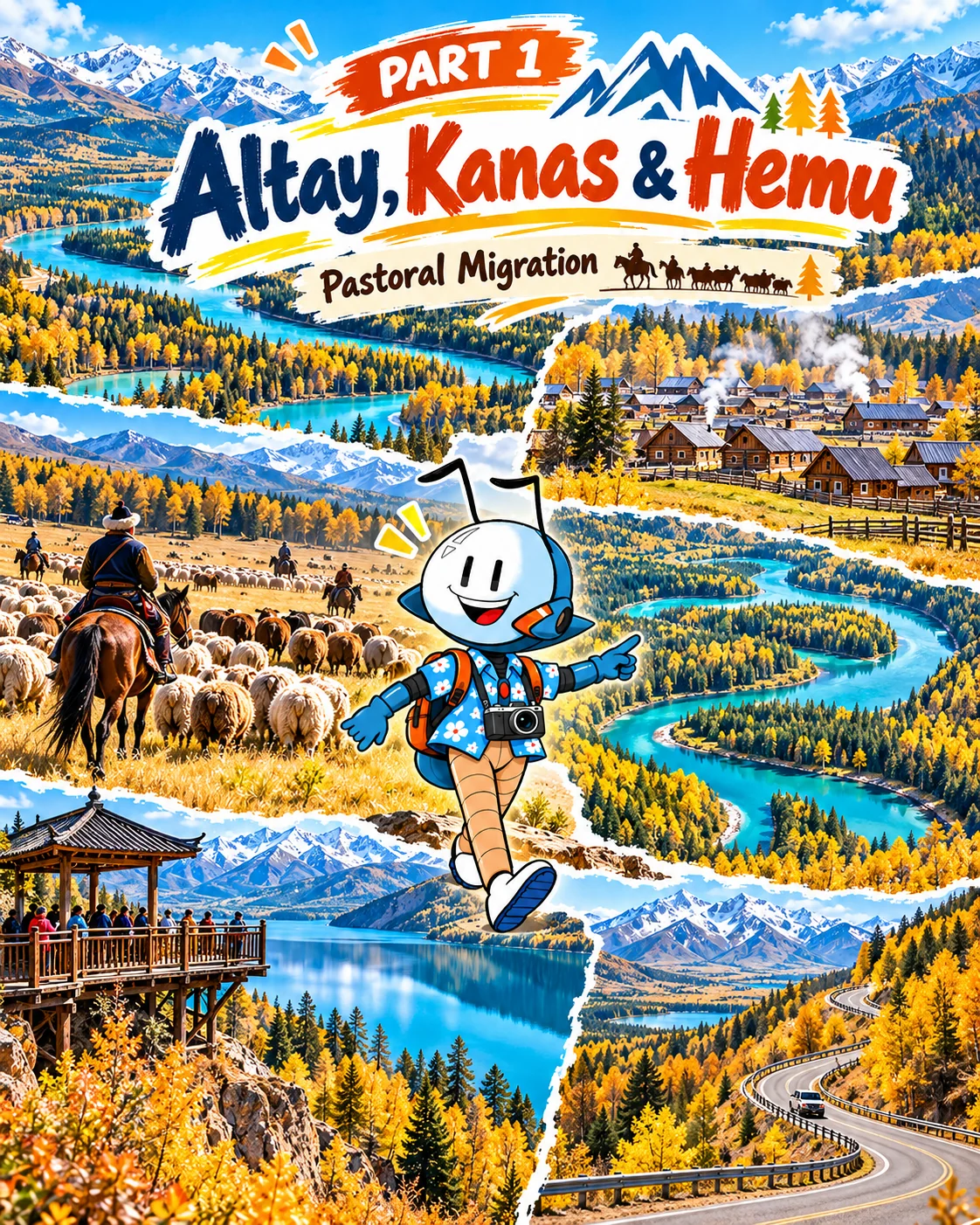
At first, the road seems to belong entirely to the mountains. Then Antee notices something stirring on a distant slope: sheep, horses, a rider, and a long, slow procession following the grass. In Altay, some of the most moving travel experiences are not scheduled attractions. They are moments in the working lives of people who know these valleys in every season.
The Altay Mountains stretch along China's northern frontier. Rivers run out of forests, mountains watch over villages, and the landscape changes faster than a photographer can pack a lens. Our journey begins in Altay City, winds through Burqin and the quieter pastures around Qibar Xilik, reaches Baihaba and Kanas, and ends with the wooden houses of Hemu and the spectacular Ahe Highway.
Burqin: The Gateway to a Different Rhythm
Burqin (布尔津) is a practical overnight base, but it deserves more than a fuel stop. Stroll beside the river in the evening, watch the changing light, and enjoy an unhurried dinner. The broader landscape belongs to the watershed of the Irtysh River, which eventually flows toward the Arctic Ocean, a marvelous geography fact for young explorers.
Antee's question: Can you trace a river from the mountains to the sea on a map?
Qibar Xilik: A Village Between Roads and Pastures
Qibar Xilik Village (齐巴尔希力克村), within Terekty Township of Habahe County, is an off-the-beaten-path stop on some itineraries approaching Baihaba. It is worth visiting for a quieter glimpse of valley life, meadows, and traditional pastoral landscapes, not as a guaranteed tourist performance. Access, accommodation and routes should be confirmed with local providers; do not wander into private grazing land.
The place introduces our main theme: a pasture is not merely scenery. It is part of a working seasonal system that families depend upon.
Baihaba: The Border Village in a Wooden Frame
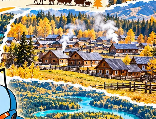
At Baihaba (白哈巴村), steep-roofed wooden homes sit below forested hills. Kazakh and Tuvan communities have long shaped the cultural landscape of this border area. Morning brings soft light to the valley; late afternoon turns the roofs amber. Rather than hurry between viewpoints, walk slowly, notice the fences and gardens, and remember these houses are people's homes.
Photographer's frame: Include a foreground fence or wooden roofline, leaving space for the distant hills. Seek permission before photographing residents or entering courtyards.
Important: Baihaba lies in a controlled border area. Border-permit requirements and procedures can differ by nationality, route and current policy. Confirm eligibility and shuttle arrangements before departure.
Kanas: Three Bays, Three Moods, One Mountain Lake
Fairy Bay (神仙湾) | A Landscape of Mist
If morning mist gathers above the grass and braided water, Fairy Bay can feel suspended between land and sky. Photograph it in the soft light of early morning, but let the weather decide the scene; mist cannot be ordered in advance.
Moon Bay (月亮湾) | The Curve in the River
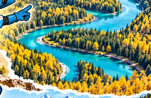
From above, Moon Bay twists through the forest in a graceful crescent. An elevated viewpoint reveals the river's shape; trail sections offer a completely different, more intimate perspective. Families can choose shorter boardwalk segments rather than attempt the whole walk.
Crouching Dragon Bay (卧龙湾) | Nature's Shape Puzzle
The island and river bends of Crouching Dragon Bay have inspired imaginative names. Antee's mission is to look for the dragon-like shape, then draw another creature hidden in the contours.
Fish Pavilion (观鱼台) | The Big Picture
A climb to Fish Pavilion offers one of the best-known high viewpoints over Kanas Lake and the surrounding mountains. The stair climb is substantial; plan for slower family pacing, and verify the viewing platform's current operating status before scheduling the ascent. Access sometimes changes due to construction or weather.
Hemu: A Village Worth Waking Early For
Hemu (禾木村) is often photographed at sunrise, when smoke or mist rises among wooden houses, a bridge crosses the Hemu River, and the surrounding forest catches the first light. From the hillside viewpoint, photograph the whole valley, then return to street level for details: a kettle steaming, split logs stacked neatly, bootprints in the soil. These small moments tell as much of the story as the grand panorama.
Antee's mission: Create a two-photo story: one image of a big landscape, one image of an everyday detail that makes the place feel lived in.
The Hemu Highway: The Road Is Part of the Destination
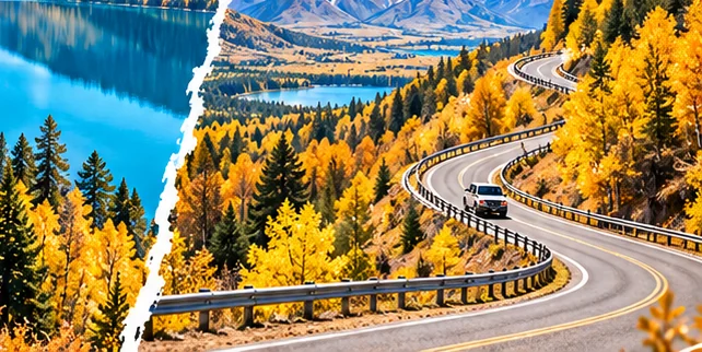
The Ahe Highway (阿禾公路) connecting Altay City and Hemu officially opened in 2025. Roughly 209 kilometers long, it introduces another dramatic way to approach the region, crossing forest, river valleys and highland scenery. It can create a useful scenic loop rather than forcing travelers to retrace the same road. Mountain weather and seasonal restrictions can still affect access.
The Living Highlight: Pastoral Migration (牧民转场)
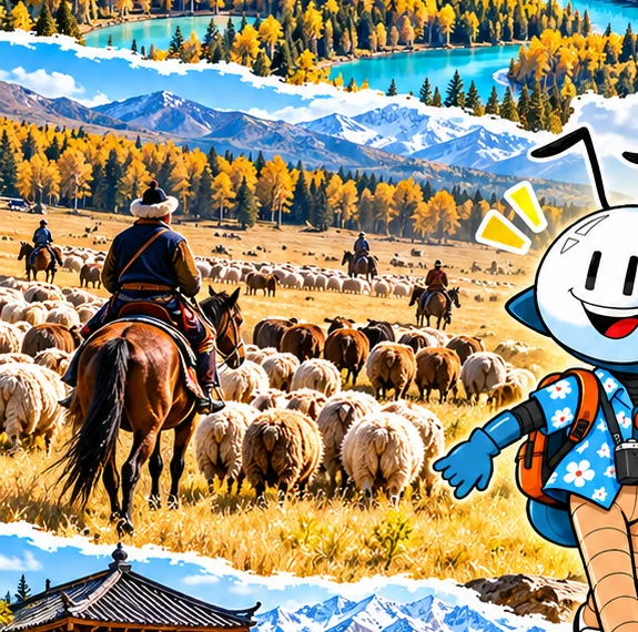
The most remarkable sight may arrive without warning: families moving their livestock between seasonal grazing areas. Many Kazakh herding communities in Altay maintain a traditional cycle of winter, spring, summer and autumn pastures. As temperatures and grazing conditions shift, sheep, cattle, horses and their caretakers move too.
Spring and early summer: Herds gradually move toward higher and greener pasture as conditions allow.
Autumn: Some herds descend or move toward autumn and winter grazing areas, sometimes crossing visible sections of road or valley.
The reality: Dates and routes are determined by weather, pasture conditions and families' needs. Migration is not a show and is never guaranteed during a visitor's stay.
How to watch respectfully: Pull over only in legal, safe places. Never stop livestock, fly a drone over them, drive among the animals or demand photographs. Ask before making close portraits. Let herders pass first; if invited to speak, listen to the story behind the journey.
Six Days With Antee
| Day | Suggested focus | Sleeping base |
|---|---|---|
| 1 | Arrive in Altay, then explore Burqin's riverfront | Burqin |
| 2 | Drive through the Habahe/Terekty area; seek out Qibar Xilik when accessible | Terekty area or Baihaba |
| 3 | Baihaba's village landscapes and local life | Baihaba or Kanas area |
| 4 | Kanas Lake, Fairy Bay, Moon Bay and Crouching Dragon Bay | Kanas area |
| 5 | Fish Pavilion if open; transfer to Hemu | Hemu |
| 6 | Hemu sunrise, Hemu River and Ahe Highway back toward Altay | Altay |
This is a thematic route, not a promise of through-driving access. Park shuttles, permits, road closures and accommodation availability can change the order substantially.
Photo Field Notes
- Main feature image: Migrating herd with large landscape context; document, don't stage.
- Best dawn: Hemu hillside and Fairy Bay when weather cooperates.
- Best evening: Baihaba rooftops and Burqin riverside.
- Lens pairing: Wide angle for valleys; telephoto for distant livestock without getting in the way.
- Family packing: Warm layers, rain protection, sturdy shoes, water and backup plans for sudden mountain weather.
Closing scene: Antee folds the map as evening gathers over the valley. The flock has moved on. The mountains are still here, but now the landscape feels less empty and far more alive.
Travel with Antee | Cre8Travel · Xinjiang Series, Part One