Cre8Travel · Travel with Antee · National Park Series
Travel with Antee
One park, two deserts
Mojave Desert · 莫哈韦沙漠
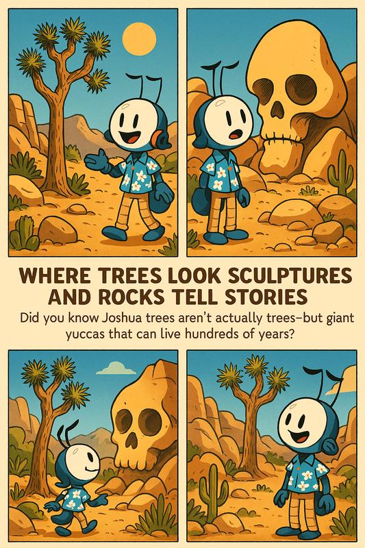
In the higher, cooler western park, watch for the forked silhouette of a Joshua tree. This giant yucca gives the park its name. Hidden Valley is a good place to study its spiky leaves against pale granite.
Colorado Desert · 科罗拉多沙漠
The lower, hotter eastern park belongs to the Colorado Desert, the California portion of the Sonoran Desert. Across the open flats, creosote bushes can stretch to the horizon. As you descend toward Pinto Basin, watch the spacing and shapes of the plants change.
The boundary is a gradual overlap. Cholla Cactus Garden sits in that transition. From the car, ask one passenger to watch for the last Joshua tree and another for the first dense stand of cholla. Would they draw the boundary in the same place?
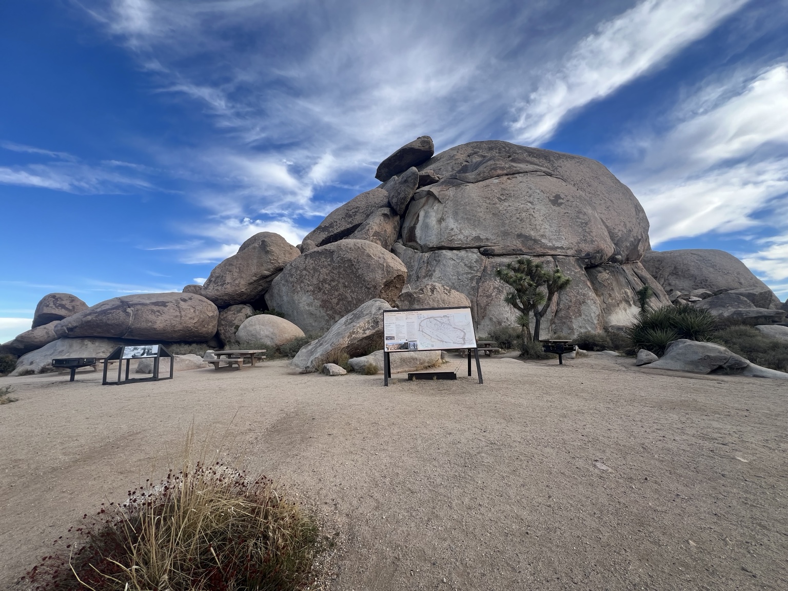
Driving from the West Entrance? Start at Hidden Valley, make the out-and-back detour to Keys View, then head east to Jumbo Rocks and nearby Skull Rock. Continue to Twin Tanks for Arch Rock and south to Cholla Cactus Garden. Check park alerts before setting out. Download your map and carry water. Wildlife hints below describe possibilities in each habitat, and a quiet stop can reward you with tracks or calls alone.
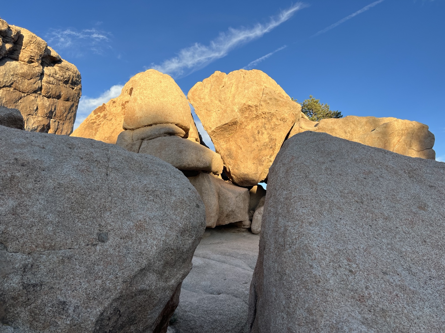
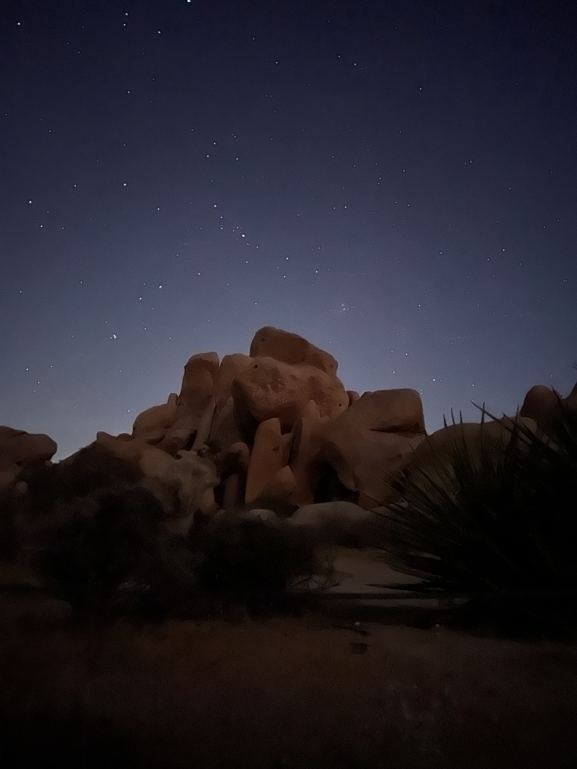
Skull Rock
骷髅岩
Rain gives a boulder its face
Just east of Jumbo Rocks Campground, a short walk from Park Boulevard brings you face to face with two enormous eye sockets. Step a few paces sideways and see how quickly the expression changes.
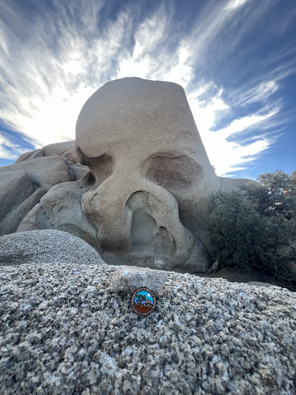
Geology. Rain collected in small hollows on the granite. As water and weathering loosened grains, the hollows deepened and held more water. Two of those depressions give the rock its familiar face.
Plant to notice
On the longer Skull Rock Trail, look for hedgehog cactus. Its upright, spiny stems grow in clusters. In spring, a brilliant magenta flower can be easier to spot than the plant itself.
Wildlife to watch for
Scan the tops of boulders for a rock wren. A small brown bird that bobs on its legs before hopping to another rock is a good candidate.
Antee asks Find a smaller hollow nearby. After a shower, where would a puddle linger?
Jumbo Rocks
巨石区
Read the seams in a boulder pile
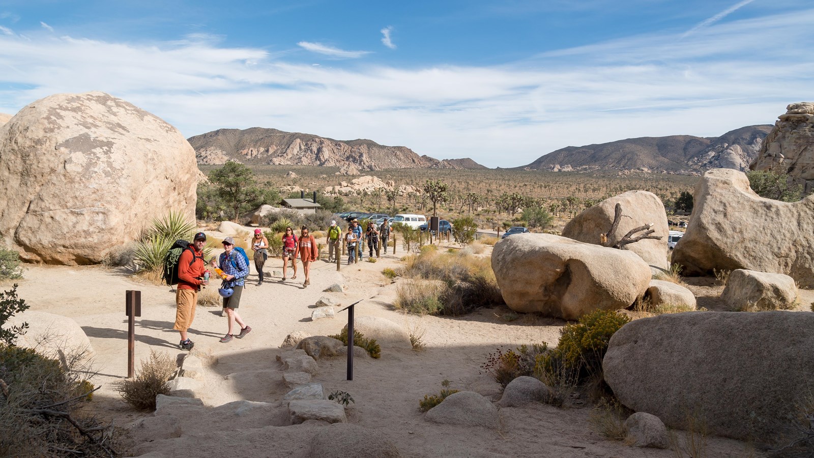
Explore along the Skull Rock Trail near the campground entrance. Day visitors can start at the Skull Rock parking area and walk to this stretch. Save the numbered campsites for campers.
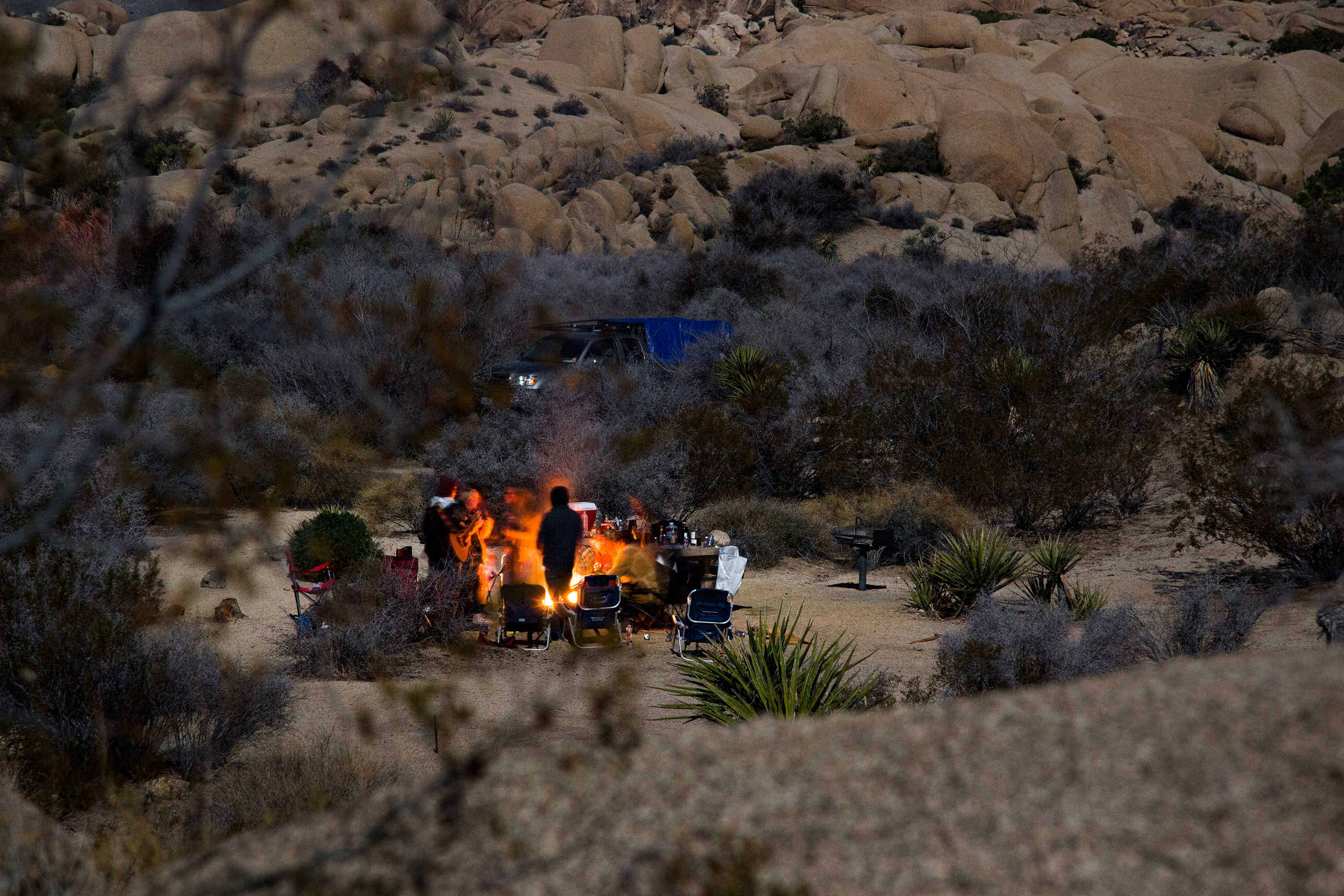
Geology. From a little distance the piles look stacked. Up close, trace a seam from one block to its neighbor. Intersecting fractures divided a larger rock mass into blocks long before erosion exposed the pile.
Plant to notice
Look into sandy pockets between boulders for low shrubs and yucca rosettes. Compare a rosette of sword-shaped leaves with the rounded stems of a cactus along the same trail.
Wildlife to watch for
Watch the ground at the edge of cover for a white-tailed antelope squirrel. A pale stripe runs along each side, and the light underside of its tail can flash as it darts away.
Antee asks Trace two seams in the air with your finger. Do they cross, run parallel, or end where a block is missing?
Arch Rock
拱门岩
A window through granite
Start at Twin Tanks on Pinto Basin Road, cross at the marked crosswalk, and follow the 1.4-mile round-trip trail. The sandy approach gives way to a maze of pale rock. Follow the signs to the arch.
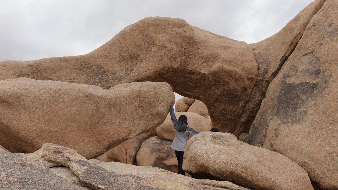
Geology. Look through the span and then at the rock supporting either end. Weathering can widen weak places and remove grains unevenly. Here you can see the result at eye level: open air beneath a surviving rib of granite.
Plant to notice
On the open approach, look for creosote bush. Its small, paired leaflets are an especially good clue. Notice how much bare ground separates neighboring shrubs.
Wildlife to watch for
Look along warm rock edges for a common side-blotched lizard. If one turns sideways, try to spot the dark patch just behind its front leg.
Antee asks Choose a spot on the trail where the arch frames the sky. Move one step and see what the opening frames now.
Cholla Cactus Garden
乔利亚仙人掌园
Where the two deserts begin to mingle
Along Pinto Basin Road, the slope opens onto a broad basin. Follow the quarter-mile garden loop where open. Low sunlight makes the pale spines of thousands of teddy-bear chollas glow.
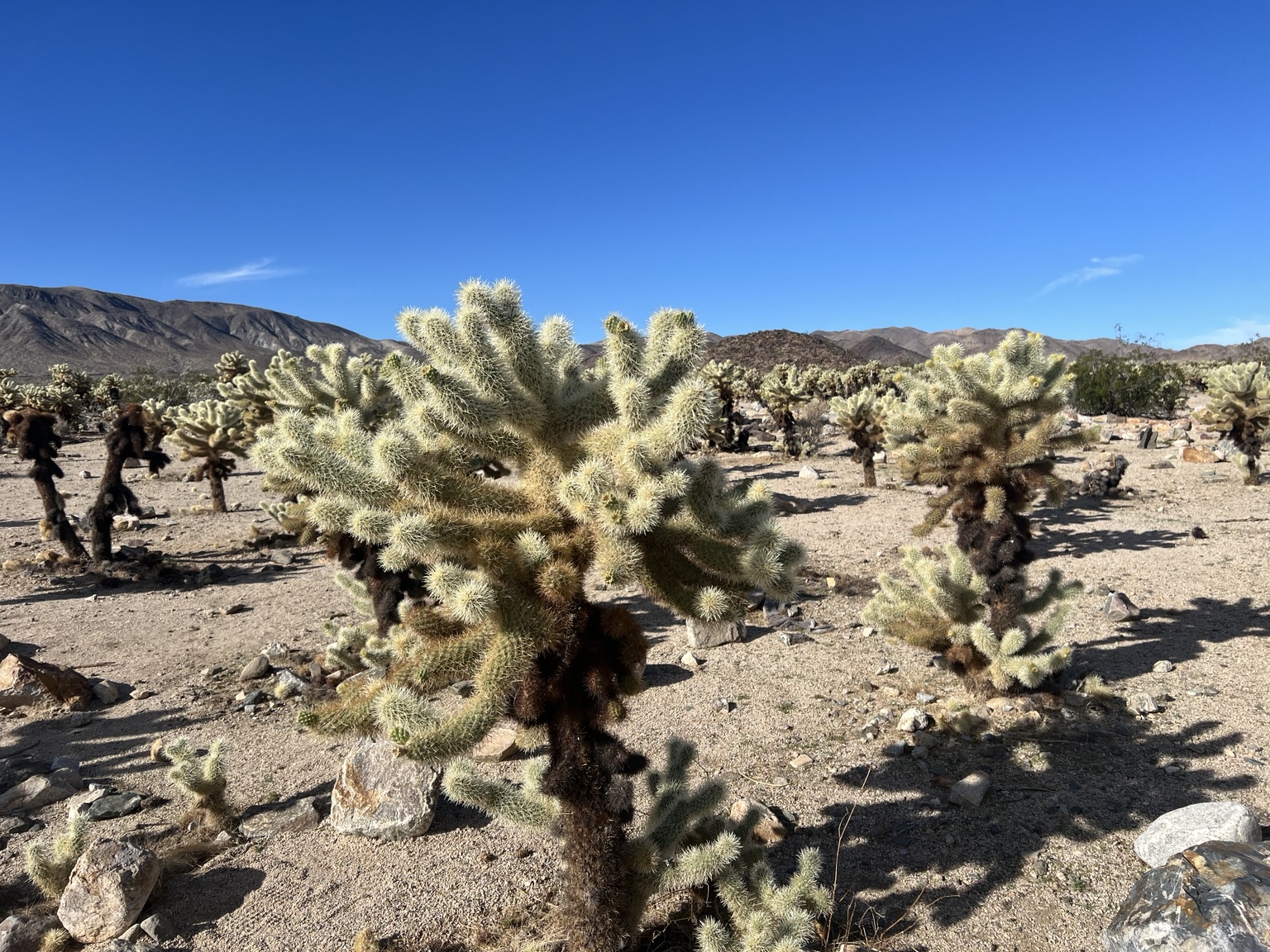
Geology. The landform here is the sloping apron below the mountains. During bursts of rain, runoff carries gravel and sand out of rocky channels and spreads them across the gentler slope. Look from the mountains to the small stones beside the path.
Plant to notice
Teddy-bear cholla grows in branching cylinders. A segment that drops onto the soil can take root, so two neighbors may have started as pieces of the same plant. Give even fallen pieces room.
Wildlife to watch for
Listen for the cactus wren’s rough, rhythmic call. Cholla branches can hold its nest, with spines providing protection. Watch from the path and give any nesting bird space.
Antee asks Can you find a short cholla growing near a taller one? How could it have arrived there without a seed?
Keys View
基斯观景台
See a fault at the scale of a valley
Take the Keys View Road spur to the overlook on the crest of the Little San Bernardino Mountains. Start with the ridge beneath your feet, then let your eyes drop into the Coachella Valley. On clear days, look for the Salton Sea.
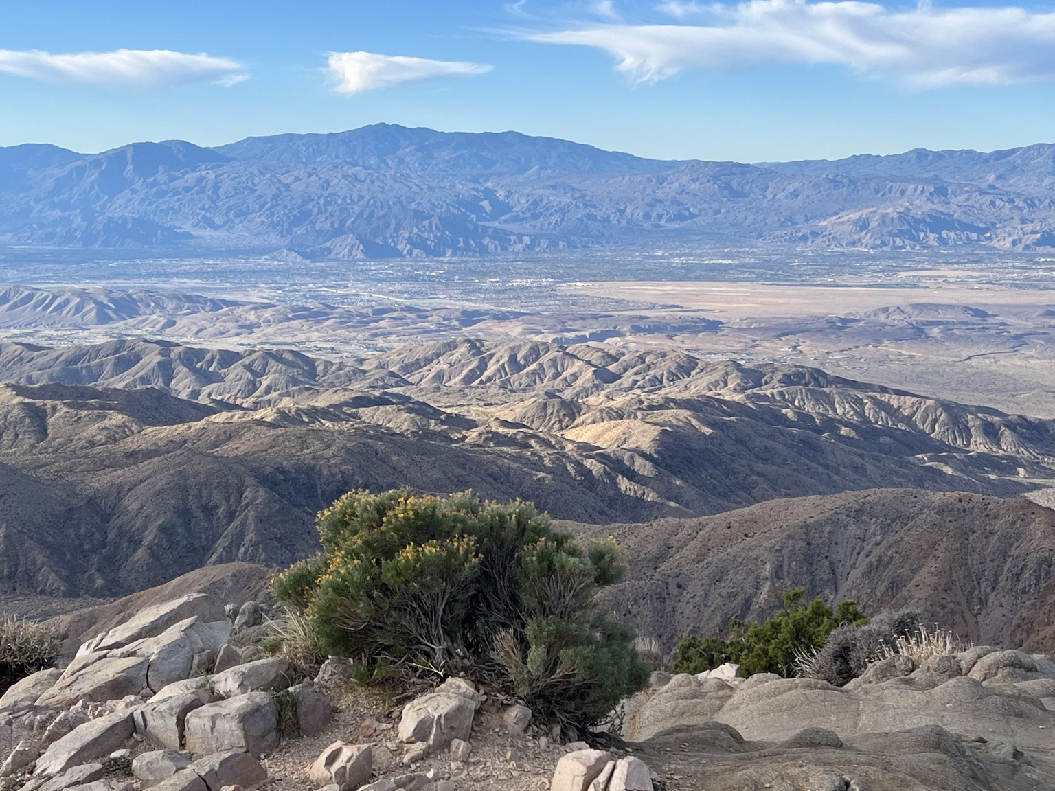
Pacific and North American plates slide past each other. Use the overlook sign to locate its trace. A long, low ridge is an easier clue to follow than a single crack.
Plant to notice
Look for California juniper beside the paved trail. Its tiny leaves press against the twigs like scales. The blue, berry-like structures on some branches are fleshy cones.
Wildlife to watch for
Juniper is a host plant for the juniper hairstreak butterfly. In butterfly season, watch the outer twigs for a small visitor. Its green underside can blend into the foliage.
Antee asks Hold one hand edge-to-edge with the other and slide them sideways. Now find the line in the valley where two plates make that motion.
Open your field notebook
Draw one rock and one living thing from the same stop. Add an arrow where they meet: a root in a sandy crack, a lizard at the edge of shade, or a wren perched above a field of spines. Finish the sentence “This spot gives the animal or plant a place to ___.”
National Park Service field references
Antee’s original illustrations